How to dig a perfectly square hole at the HJ Andrews experimental forest
Ever wanted to see how perfectly square a cube you could dig? Well neither have I! But it turns out perfectly square holes are ideal for ecosystem-level carbon accounting.
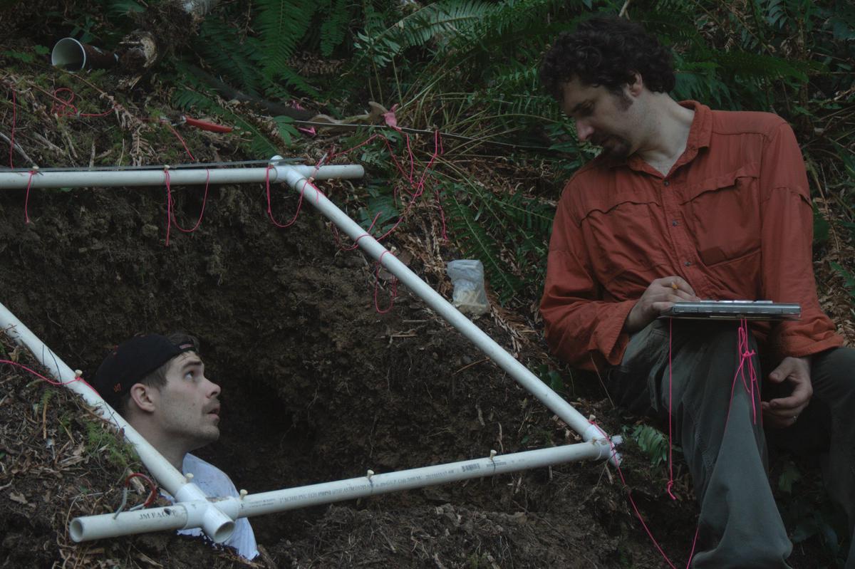 Image credit: AdrianCGallo
Some Background
A few summers back I was on a campaign to dig 10 quantitative soil pits across the HJ Andrews Experimental Forest to better understand one of the longest studied watersheds in the world. Surprisingly, not many soil scientists had tried to map out the watershed, and it turns out if you care about water, tree productivity, salamander habitat, and basically anything else on soils (i.e. everything) it helps to know what soil is beneath your feet!
Overview
- Find a spot
- Tape it out
- Dig a hole … carefully
- Measure everything that come out of the hole
- Record all that lovely data
- Take photos & samples
- Have lunch
- Put everything back where it was before
I have many cool photos to come!
Adrian C. Gallo
Ph.D.
Ecosystem Ecologist
Clean Energy Consultant
I am formally trained as a terrestrial biogeochemist (aka I know a lot about dirt & ecosystem ecology), but I’m now focused on energy policy and strategic communications. You can usually find me outside running, mountain biking, or playing soccer.